download.webp

One of Earth's extraordinary places
A computer screen displaying a financial candlestick chart with green and red bars, showing stock price movements.

Welcome to the English Riviera UNESCO Global Geopark

One of Earth's extraordinary places

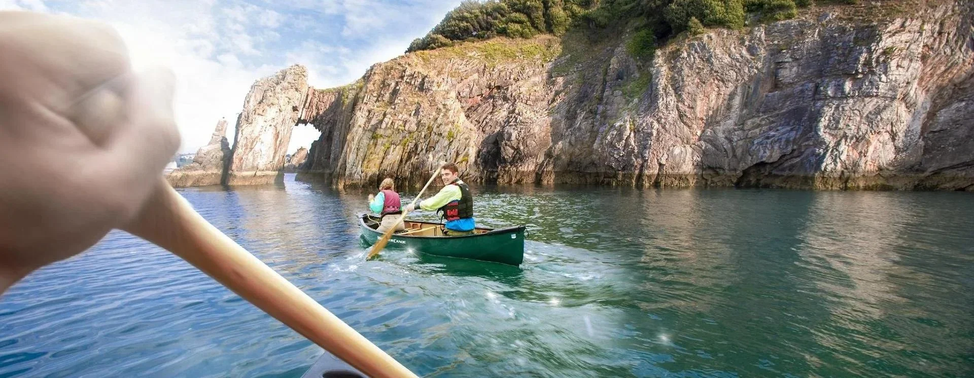
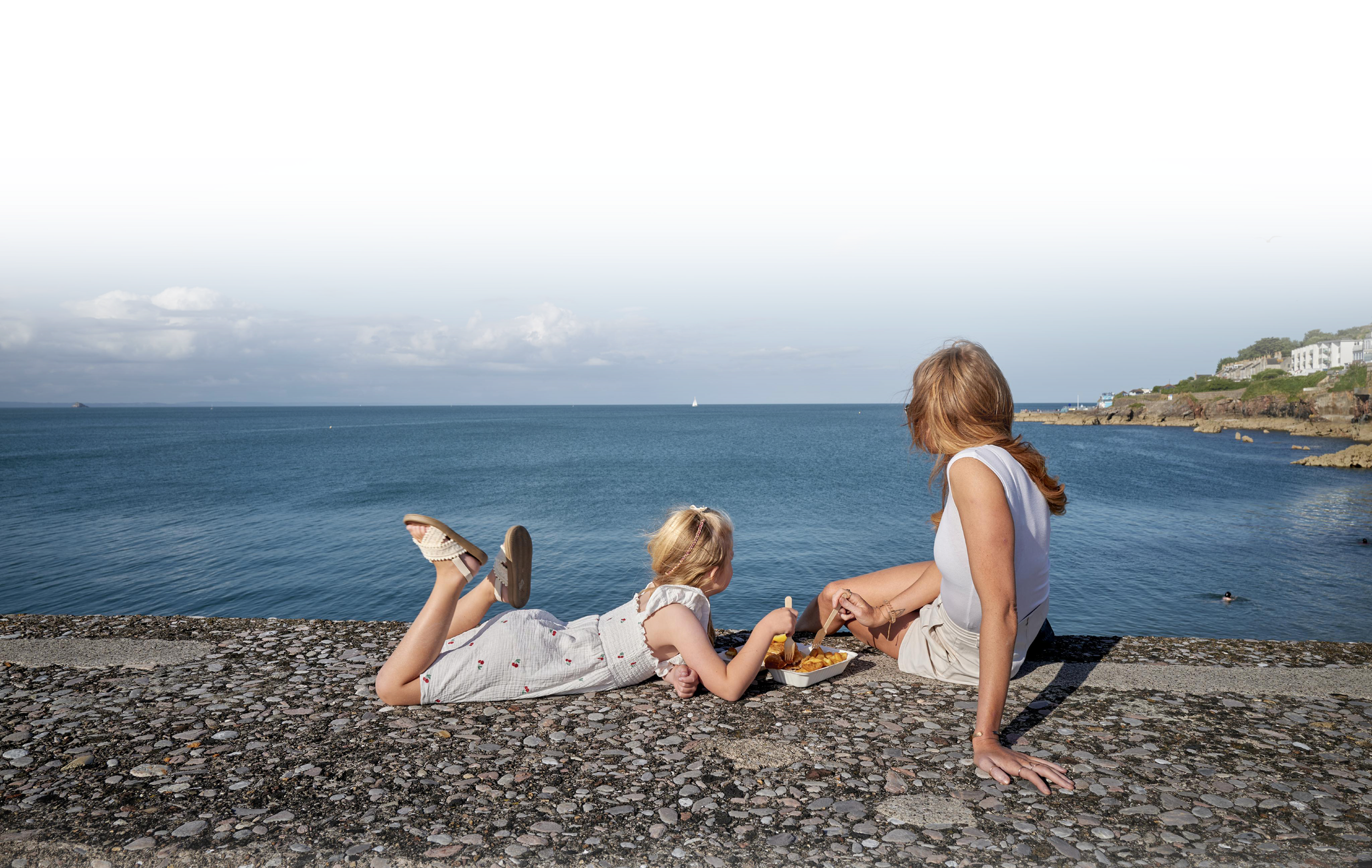
One extraordinary bay, 400 million years in the making — where internationally important geology meets living heritage, culture and wildlife, and the story of the Earth still shapes how we live, learn and play today.
400M

Years of Geological History


32

Internationally Important Geosites


22

Miles of StunningCoastline


2007

Designated a Global Geopark

An abstract image resembling mountainous landscape with layered, wavy lines in light and dark shades.
A topographical map of a winding river and surrounding terrain in black and light green, with contour lines indicating elevation.
A young boy wearing a blue knit hat and a fleece jacket is smiling while climbing a tree outdoors.
Illustration of a stylized hermit crab with a colorful shell and elongated claws.

One Bay,
Many Worlds

The whole of Torbay — the towns of Torquay, Paignton and Brixham, plus 41.5 km² of sea — was designated a Geopark in 2007 for its unique and often spectacular geology. While geology is at the heart of the designation, the Geopark celebrates every part of our heritage: history, culture, archaeology and biodiversity.
About the
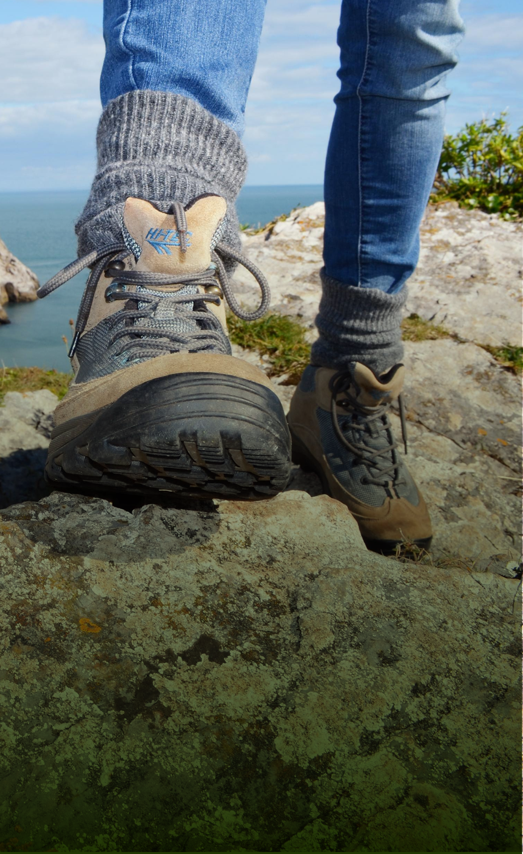
GEOPARK

What a UNESCO Global Geopark is, and why Torbay is one of Earth’s most extraordinary destinations.

Our Amazing
GEOSTORY

Travel the timeline from tropical Devonian seas to ice age cave bears and the first humans in Britain.


Black and white abstract line drawing resembling mountain ranges and valleys.

Discover and
LEARN

Outdoor field work, school visits and classroom resources across every key stage.
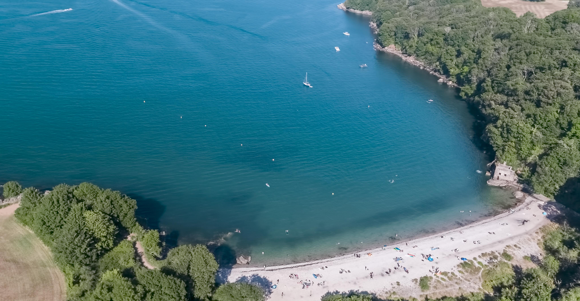
Aerial view of a small sandy beach with colorful umbrellas and people, surrounded by green trees and water with boats, near a wooded shoreline.

Are you ready to

EXPLORE 400 MILLION YEARS?

Start with the interactive map of our 32 internationally important geosites - from upside-down cliffs to caves that housed Britain’s earliest humans.
Black and white abstract landscape with layered, curved lines resembling geological strata or mountain ranges.
Digital illustration of a mountain range with detailed topography, including peaks, valleys, and cliffs, in a light green color against a black background.
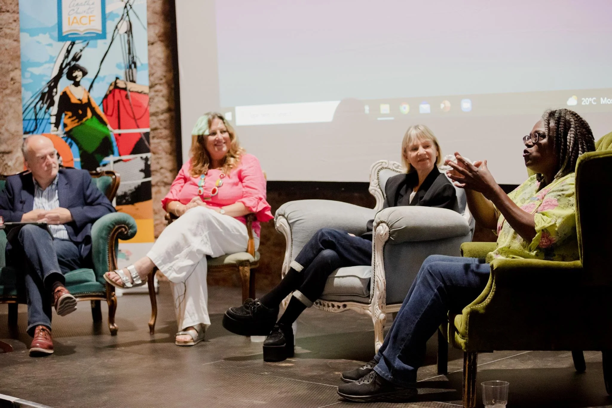
A panel discussion with five people sitting on vintage chairs and sofas on a stage, with a large screen behind them displaying a computer desktop, during a conference or workshop. A colorful mural with a woman and abstract shapes is visible on the left.
A stylized, abstract map of part of the coastline showing land, water, and rivers or estuaries.
A pixelated image of a drone with blue and black coloring.

Get Involved…

Being a UNESCO Global Geopark starts from the ground up, with individuals and organisations working together to showcase where we live and why it’s so special.