
Walking
Things to Do
Hilly hikes and gentle strolls — explore the best of the Geopark at your own pace.

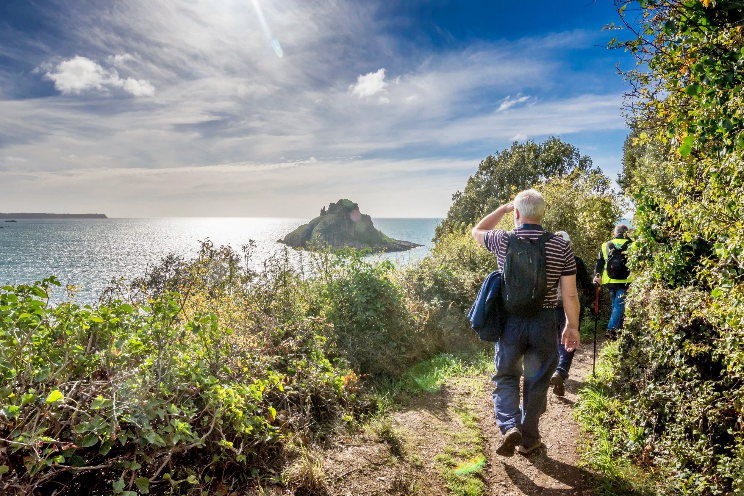
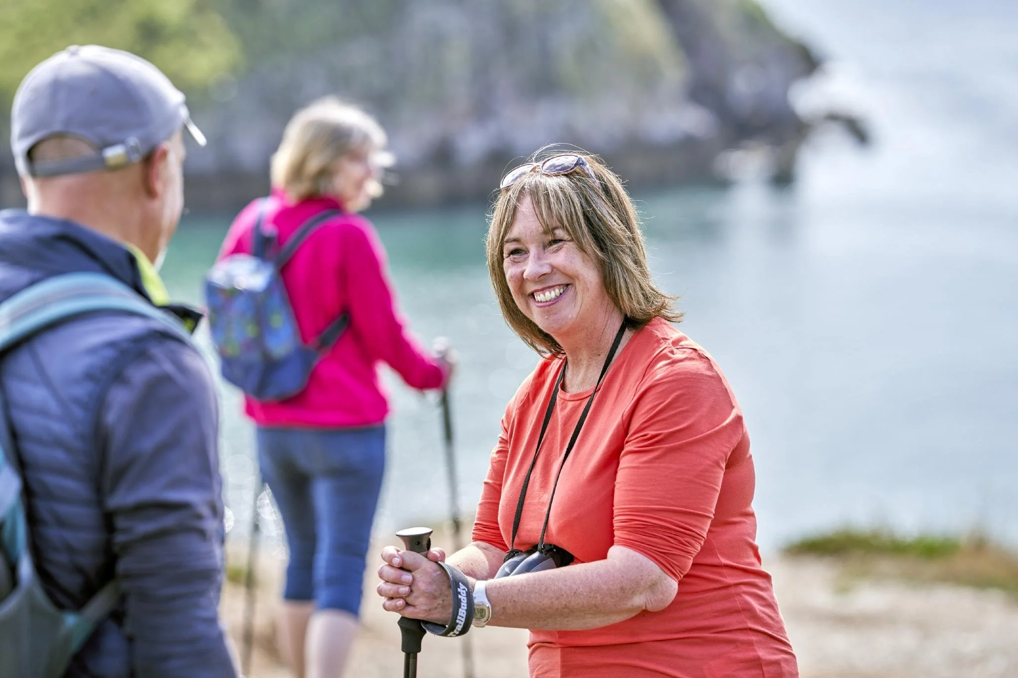
Hilly hikes and gentle strolls — take your pick from an amazing selection of routes and trails that let you explore the best of the Geopark at your own pace. We’ve got a few suggestions, as well as a collection of guided walks that showcase our geology and landscape.
Ten mapped Geopark walks — with routes, distances and difficulty ratings — are on the Geopark Map
Torquay to Brixham and back again
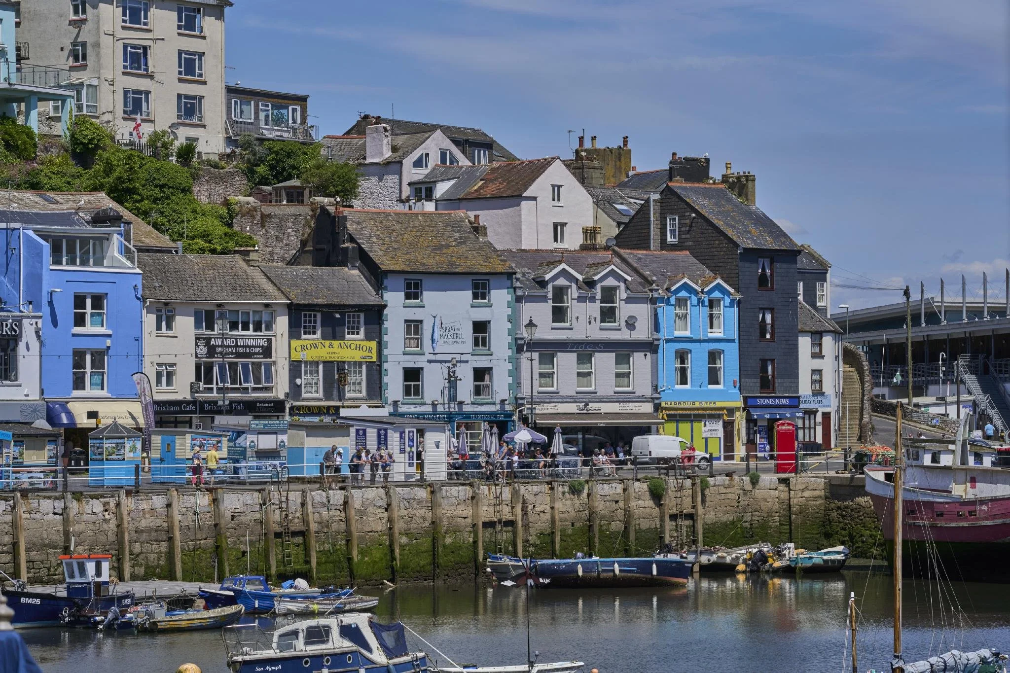
Take the seasonal Western Lady Ferry from Torquay Harbour to Brixham and walk back along the South West Coast Path. The 8.5-mile route is not too strenuous and there are plenty of places to picnic or refuel along the way. Highlights include the breccia of Roundham Headland in Paignton.

Daddyhole Plain
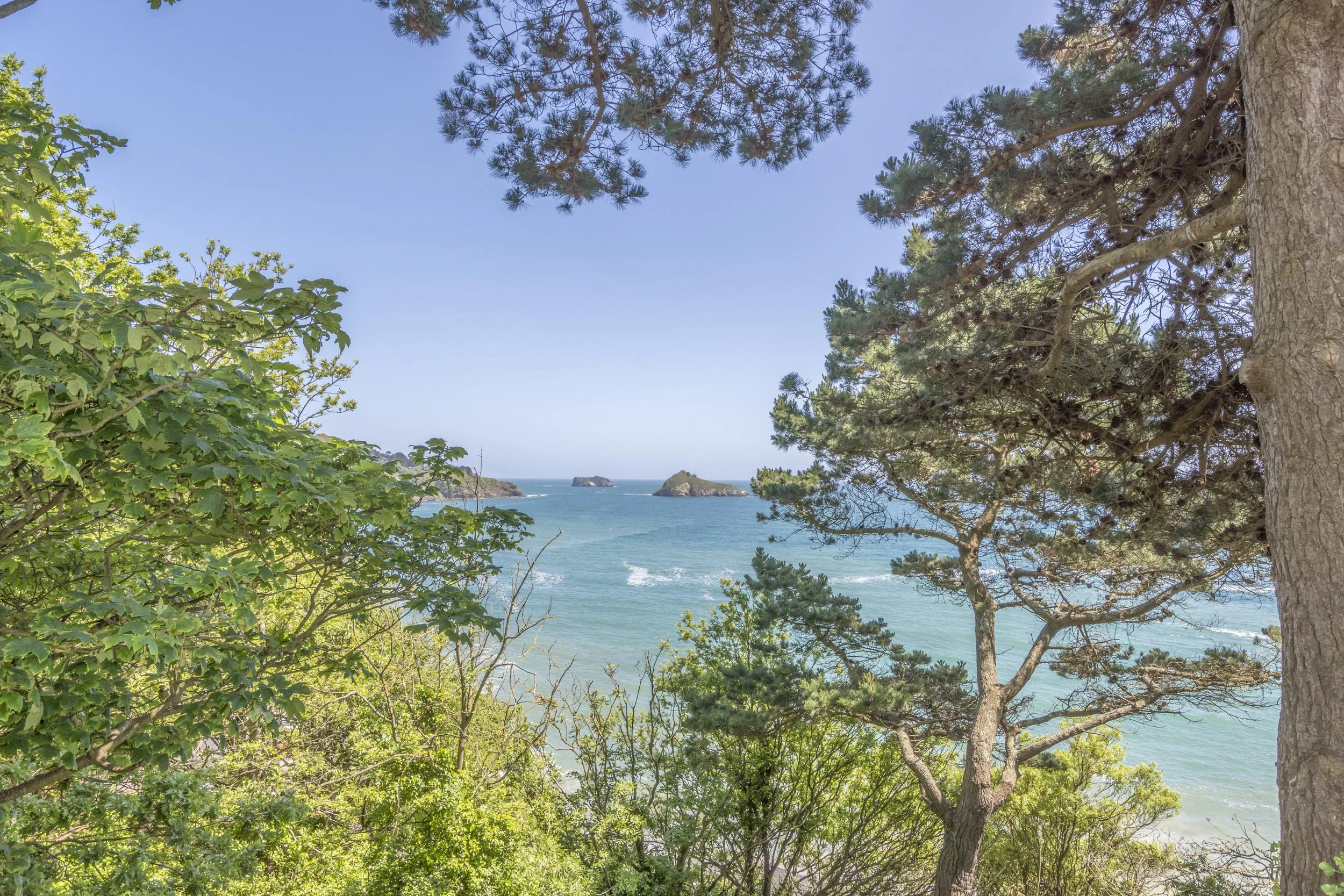
Another popular South West Coast Path route is the 2.5 miles from Torquay Harbour to Daddyhole Plain, one of the Geopark’s 32 GeoSites. The walk passes Beacon Cove where Agatha Christie used to swim as a girl. After a climb, you’ll reach Daddyhole Plain; nearby Daddyhole Cove shows a superb example of limestone from the Devonian period.

A countryside walk at Cockington
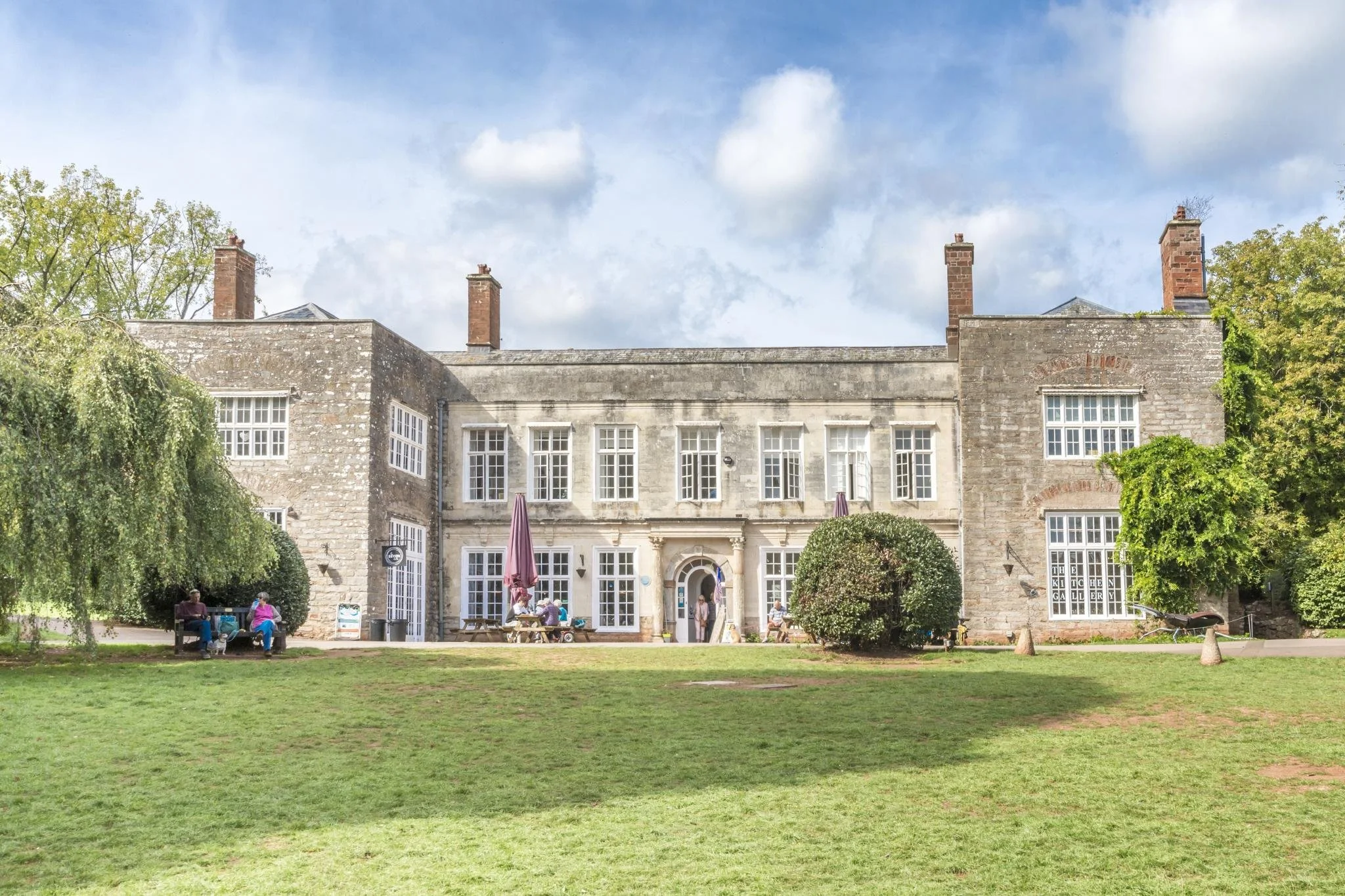
Cockington Country Park has five routes, including a gentle, flat stroll around the lakes or a longer walk around the whole estate, passing through the arboretum and the parish church.

Around Brixham
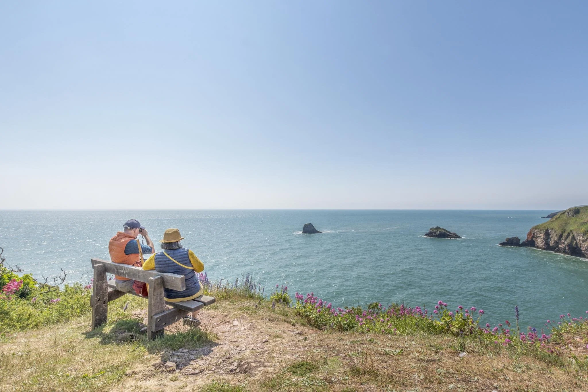
The walk between Brixham Breakwater and Berry Head Nature Reserve is a great way to get a town and country fix. Watch the fishing boats come in and out of the historic harbour before making your way out to the tranquillity of the nature reserve and headland, one of the Geopark’s 32 GeoSites.

Historic walk: Bishop’s Walk
Created by Henry Phillpotts, Bishop of Exeter from 1831 until his death in 1869, Bishop’s Walk is part of the Hope’s Nose to Wall’s Hill SSSI, with the South West Coast Path running through it. This stretch of coastline is an important part of the English Riviera’s limestone coast.
Prefer company? We have a great selection of guided walks to suit all ages and abilities — including the Agatha Christie Mile, Bay Walks and the John Musgrave Heritage Trail.

Healthy Selfie Geopark Journeys
Healthy Selfie Geopark Journeys are three accessible trails around the seafront areas of Torquay, Paignton and Brixham, aimed at getting people out in the fresh air and discovering some extraordinary facts along the way. They have been commissioned by the English Riviera BID Company, the English Riviera UNESCO Global Geopark and Torbay on the Move.
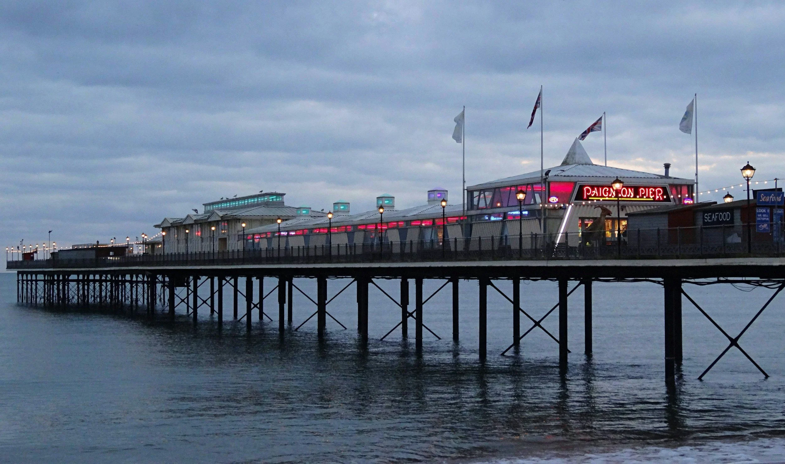
Paignton Town Geology Trail
A stroll through Old Paignton, looking at the rocks used in its buildings and then those on the seafront. Geological features include Permian sandstones and breccias, and Devonian limestone blocks containing fossils, as well as observing the two rocks in the walls of the ancient Bishop's Palace and the mediaeval link. Note: A magnifying glass is needed to make the most of this fascinating walk.
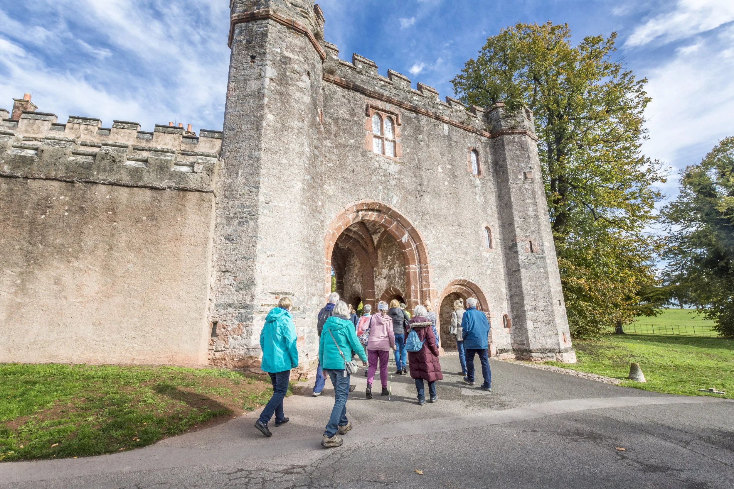
Accessible Geopark Journeys
Healthy Selfie Geopark Journeys are three accessible trails around the seafront areas of Torquay, Paignton and Brixham, aimed at getting people out in the fresh air and discovering some extraordinary facts along the way — designed with Living Options to be as accessible to as many people as possible.