
Management & Organisation
The Organisation
The English Riviera Geopark Organisation (ERGO) is responsible for the coordination and management of the Geopark.
The English Riviera UNESCO Global Geopark (ERUGGp) is part of the UNESCO Global Geoparks Programme (UGGp), which recognises landscapes with internationally significant geology and strong commitments to education, conservation and sustainable development.
Geopark system map
The designation operates within a multi-layered system — global, regional, national and local. The English Riviera Geopark CIC (ERGCIC) is the coordinating body responsible for stewardship of the designation, impact delivery, partnership convening, and compliance with UNESCO requirements.
-
UNESCO (Paris): ratifies the new and revalidated Geoparks designations; set the global standards
UNESCO Global Geoparks Secretariat: provides operational guidance, branding rules and compliance oversight.
UNESCO Global Geopark Council: Evaluates new and renewed UNESCO Global Geopark nominations. Its members determine whether new applications meet the required standards and can be forwarded the Executive Board of UNESCO for endorsement. Additionally, the council provides essential advice to the Director-General of UNESCO on the development and execution of strategy, planning, and implementation of UNESCO Global Geoparks.
Global Geoparks Network (GGN): global professional network; peer review and knowledge exchange.
European Geoparks Network (EGN): regional platform for collaboration and thematic working groups.
-
UK National Commission for UNESCO: advises on UK-wide policy and ensures alignment with wider UNESCO priorities.
UK Committee for UNESCO Global Geoparks: UK platform for collaboration and knowledge exchange; expert network on Geoparks providing advice to UNESCO UK; support and mentoring for aspirant UK geoparks; approval of new applications prior to submission by UNESCO UK to UNESCO Paris
-
English Riviera Geopark CIC (coordinating body): leads management of the designation; oversees brand use, impact, reporting and compliance; drives fundraising and strategic planning.
Torbay Council (funding & statutory partner): provides core funding and embedded staff support; ensures alignment with local priorities; participates in governance via the MoU/SLA.
Core Partners (primary delivery partners): operate key sites and programmes central to the Geopark mission; contribute to impact data and standards.
Associate Partners (engagement network): support programmes, events, visitor and community participation; adopt basic brand and interpretation standards.
The Geopark Management Plan
To see the English Riviera Geopark Management Plan 2023–2033 please download below. Further strategic documents, policies and research publications are available under Reports & Documents.
The Geopark Territory
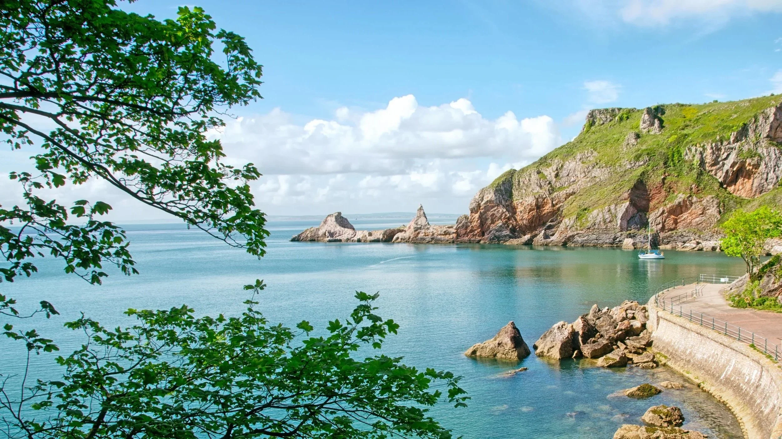
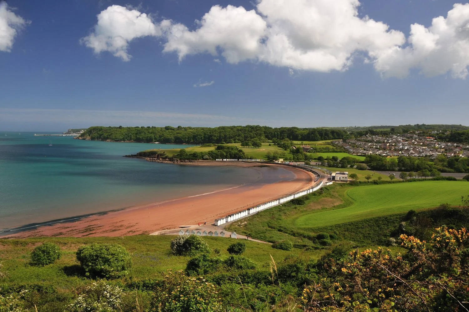
Comprising 62.4 km² of land and 41.5 km² of marine area, the Geopark boundary reflects that of the local authority area. The terrestrial area is mainly urban or sub-urban in character, but approximately 45% of the land remains undeveloped as farmland, woodland or other open space. Tourism is the area’s dominant industry, and the resident population of around 123,000 expands to about 180,000 during the summer months.