
UNESCO
Global Geopark
What is a
A designation awarded by UNESCO to areas with outstanding geological heritage.
A UNESCO Global Geopark is a designation awarded by UNESCO (United Nations Education, Scientific and Cultural Organisation) to an area that has outstanding geological heritage.
Geoparks are found in every corner of the world
UNESCO Global Geoparks sit within the UNESCO International Geoscience and Geoparks Programme (IGGP). Geoparks are found in every corner of the world — in the UK alone they include Arran, off the coast of Scotland, and GeoMôn on the Isle of Anglesey — and new areas join the family every year.
To find out how many there are today, visit UNESCO Global Geoparks. The idea is that by granting Geopark status, these precious places will be looked after and protected for generations to come.
It’s not just
about rocks
Having UNESCO Global Geopark status is about using an area’s geology to make a difference to life locally. It aims to bring people together to explore and celebrate the links between us and our incredible landscapes while supporting sustainable economic development. Every UNESCO Global Geopark is committed to supporting the United Nations’ 17 Sustainable Development Goals — using its landscape to help build a fairer, greener future.
At the moment, there are
241 UNESCO GEOPARKS IN 51 COUNTRIES
They include Arran, off the coast of Scotland and GeoMôn on the Isle of Anglesey. The idea is that by granting Geopark status, these precious places will be looked after and protected for generations to come.
How is it done?
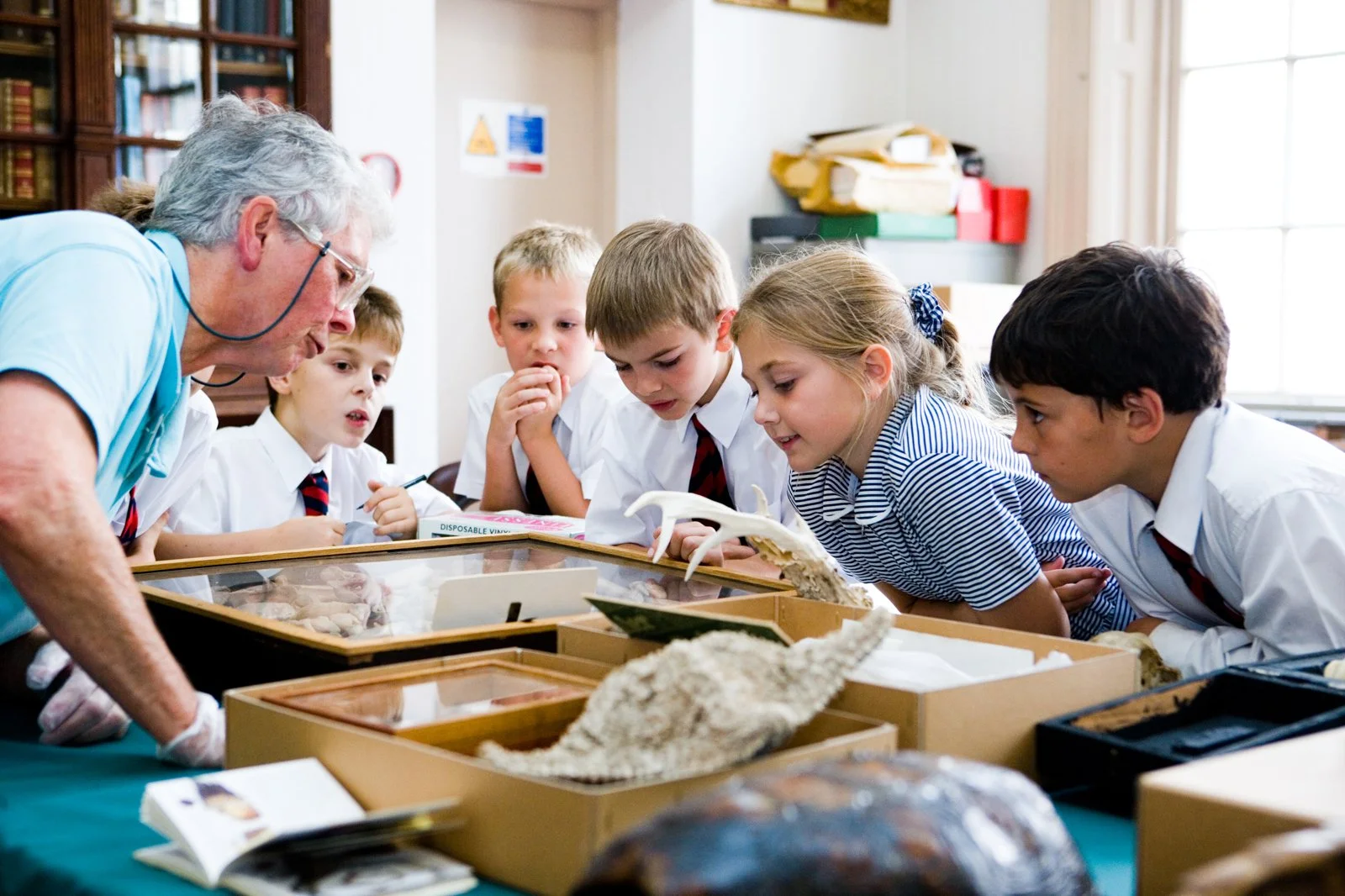
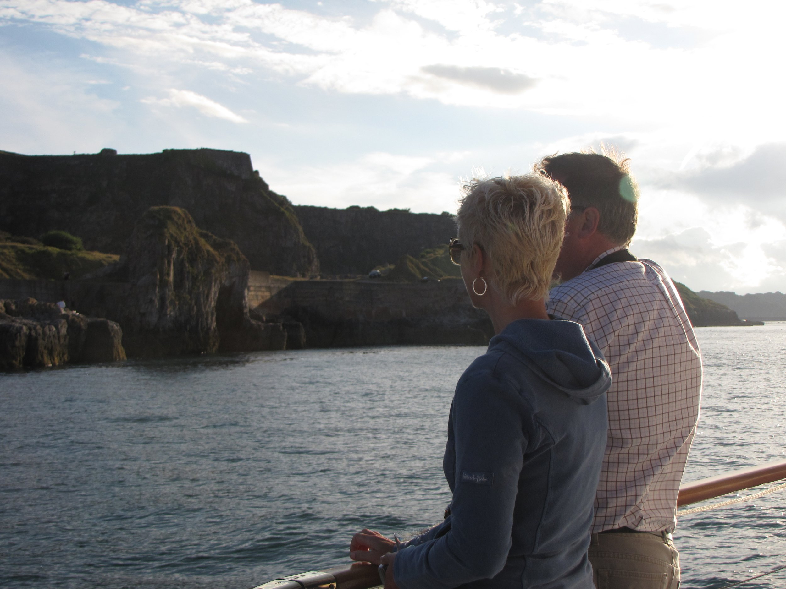
Through community-led partnerships. Being a UNESCO Global Geopark starts from the ground up, with individuals and organisations working together to showcase where we live and why it’s so special. This is done through promoting responsible geological tourism, organising community projects, cultural events, educational programmes and through ongoing scientific research and conservation.
The UK’s Geoparks
Highland mountains, ocean cliffs, billion-year-old rocks and cavernous caves — the English Riviera is one of a family of UK Geoparks, each part of the global network of areas of exceptional geological significance:
-
Arran
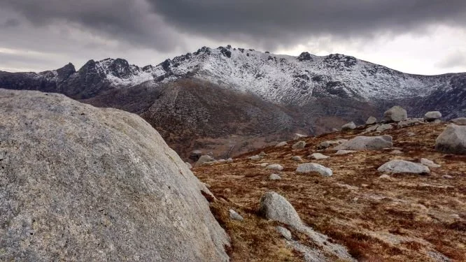
Arran — an island whose rocks record half a billion years of Earth history, where James Hutton found evidence for deep time.
-
Black Country
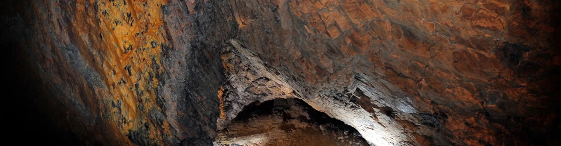
Black Country — where the Industrial Revolution was at its most intense, packed with incredible heritage.
-
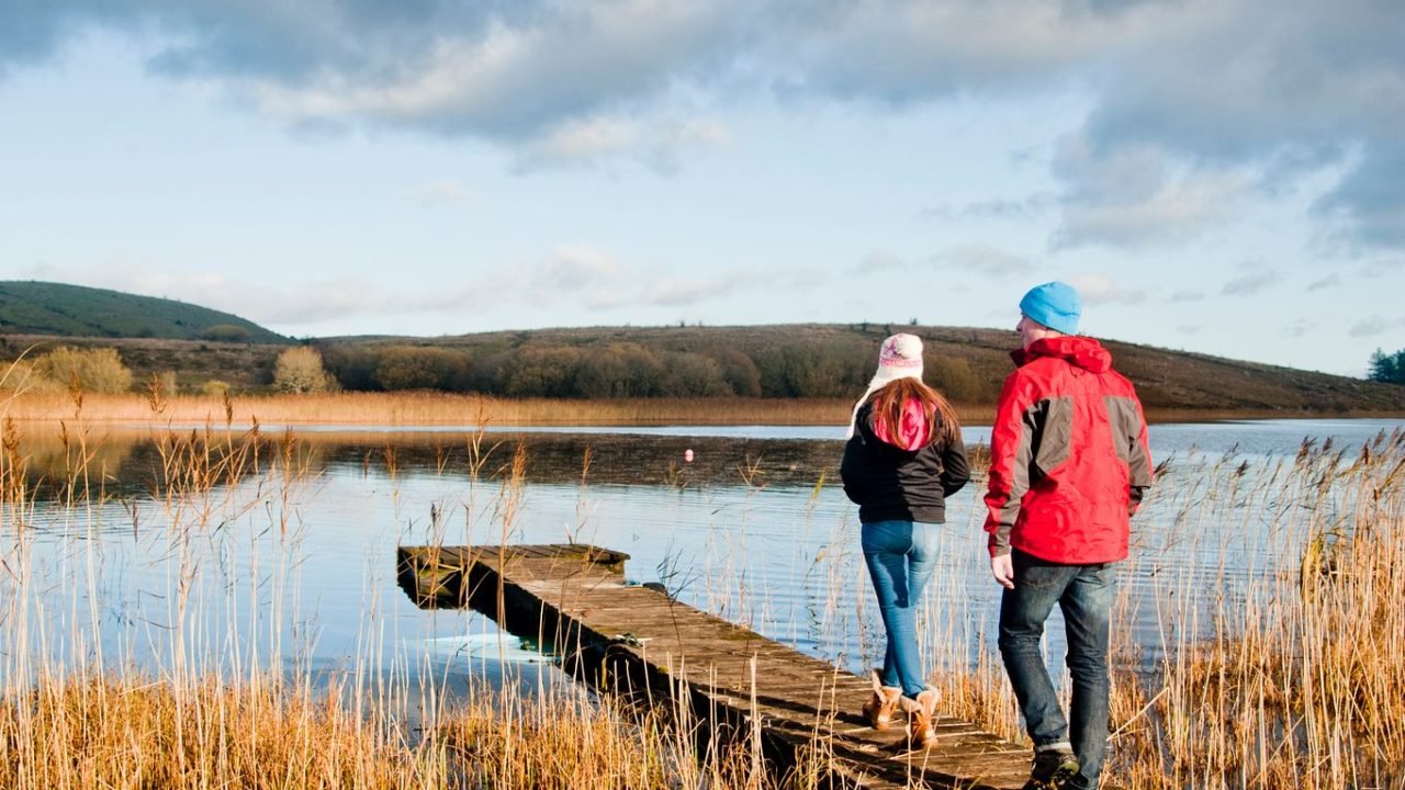
Cuilcagh Lakelands
Cuilcagh Lakelands — rugged uplands, lakes and water-worn caverns spanning 895 million years, across counties Fermanagh and Cavan.
-
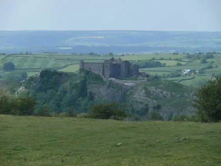
Fforest Fawr
Fforest Fawr — a cracked and crumpled layer-cake of rocks forming the western Brecon Beacons, sculpted by ice.
-
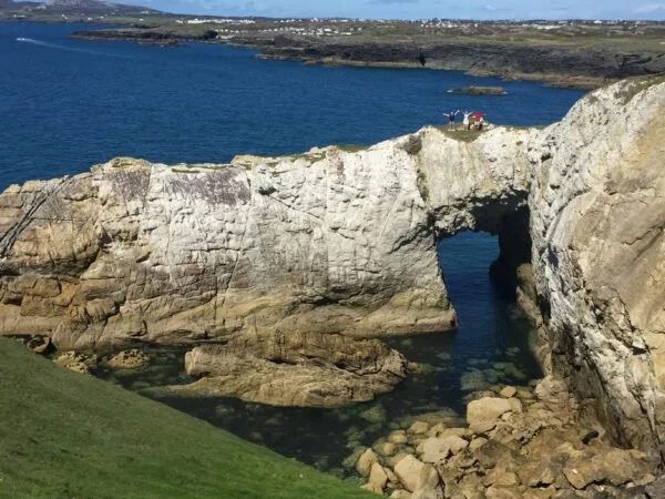
GeoMôn
GeoMôn — the tectonic island of Anglesey, the UK’s most geologically diverse Geopark, with more than a hundred rock types.
-
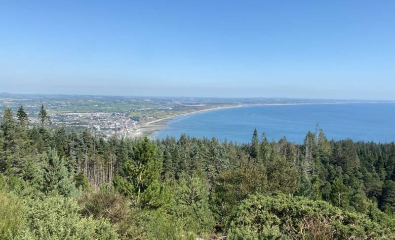
Mourne Gullion Strangford
Mourne Gullion Strangford — forged by volcanoes and sculpted by ice, a mosaic of heather, moor, bog and shore.
-
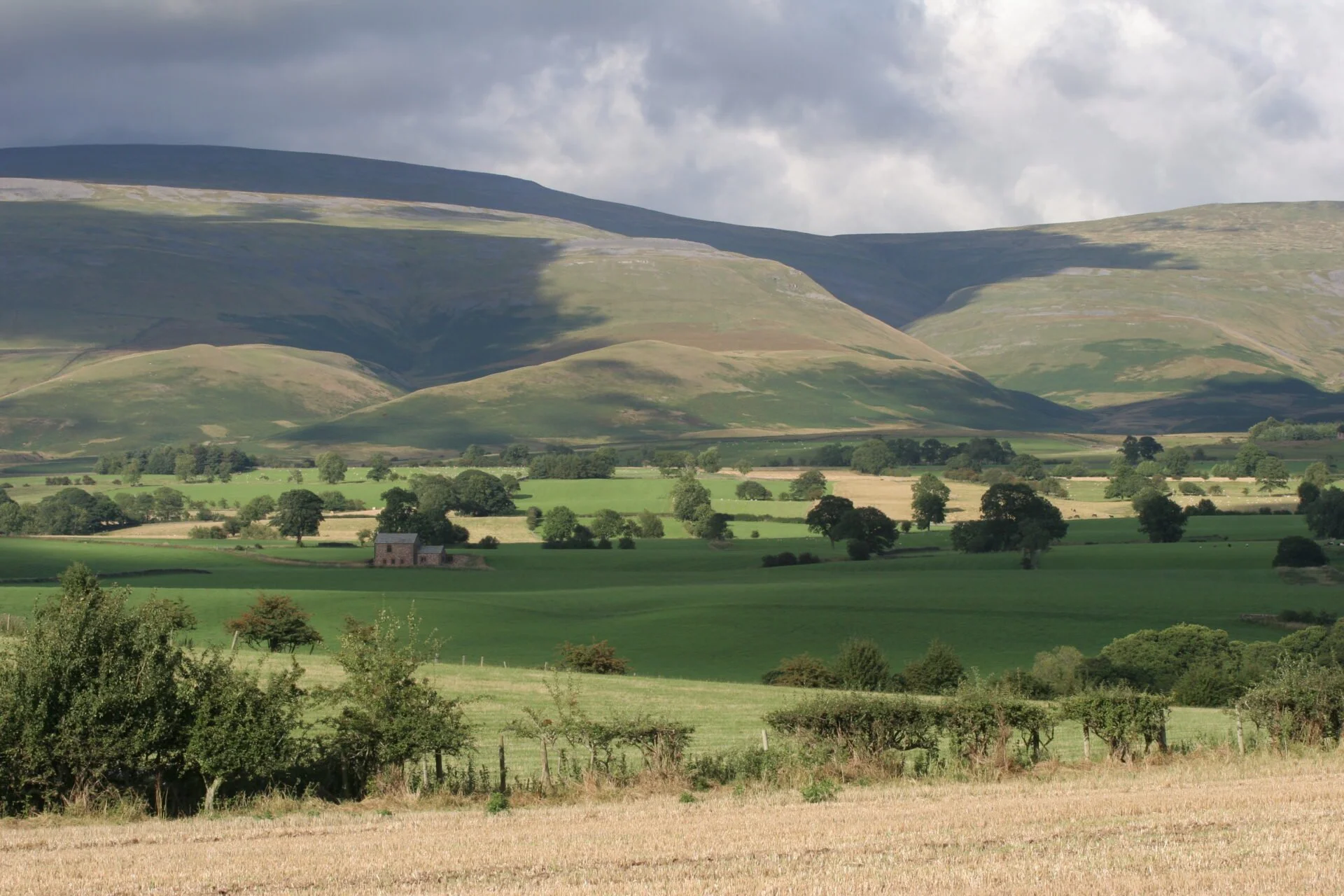
North Pennines
North Pennines — 500 million years of tropical seas, deltas, deserts and ice sheets, with a world-class mining heritage.
-
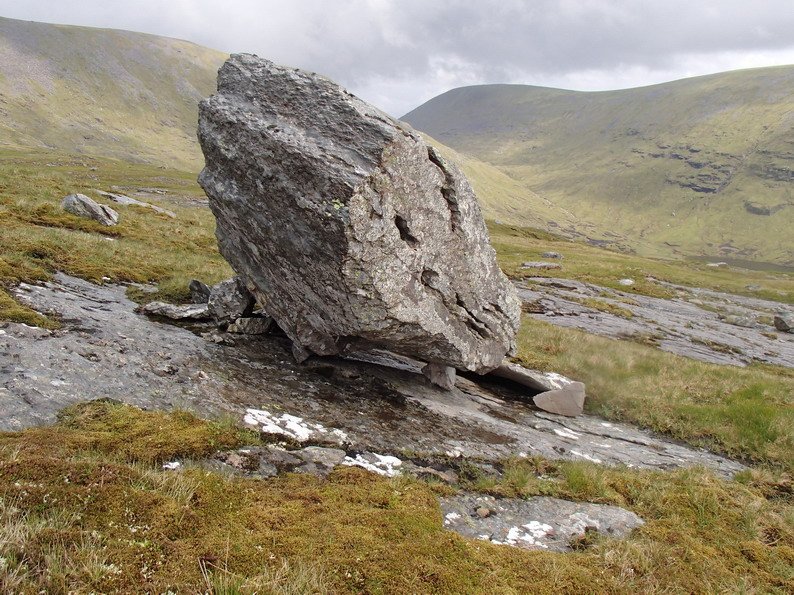
North West Highlands
North West Highlands — home to the oldest rocks in the UK: Lewisian gneiss over 3 billion years old.
-
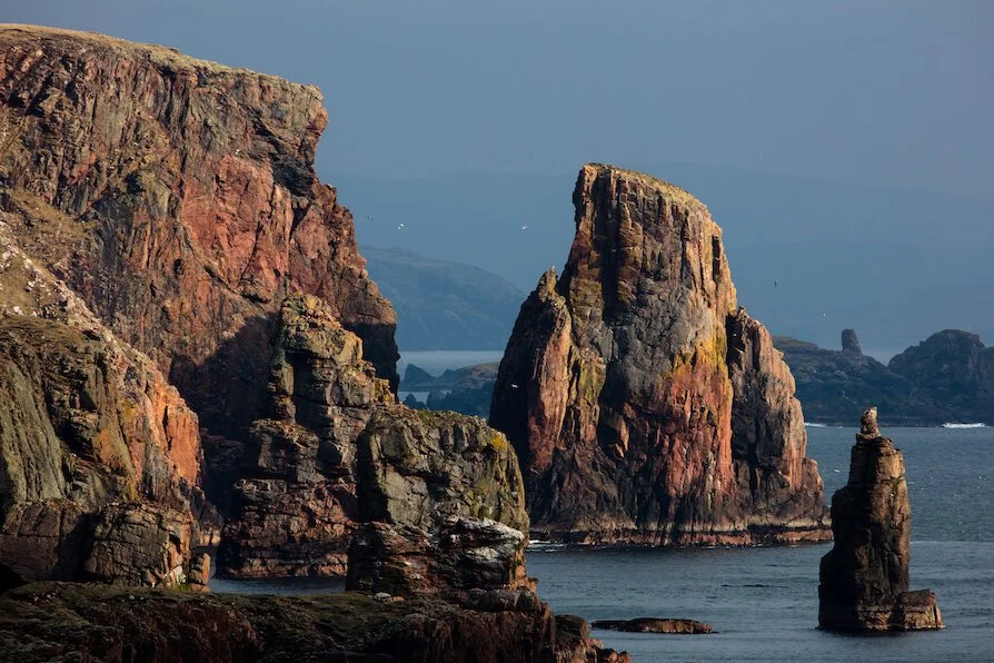
Shetland
Shetland — walk an ancient ocean floor, explore an extinct volcano and cross shifting sands in a single day.
Devon alone is home to six UNESCO-recognised heritage assets — including two World Heritage Sites, a Biosphere Reserve, a City of Literature and the English Riviera Global Geopark. Explore all the UNESCO sites in the UK.
The wider
Geopark family
The Global Geoparks Network (GGN), of which membership is obligatory for UNESCO Global Geoparks, is a not-for-profit organisation founded in 2004. Members are committed to working together, exchanging ideas of best practice and joining common projects to raise the quality standards of everything a UNESCO Global Geopark does. The GGN functions through regional networks, such as the European Geoparks Network, which meets twice a year to develop and promote joint activities.
Useful links: