Geosites
Our Geopark
Our designation as a Geopark is based on the international importance of the English Riviera’s 32 geosites.

Getting to
the geosites
Our 32 geosites vary widely in how you can experience them. Some are welcoming attractions and beaches; others sit on exposed, hard-to-reach stretches of coast; and a few are so scientifically sensitive, or so hazardous, that there is no public access at all. Every site is listed below — grouped by how you can visit — because each one, accessible or not, is part of what makes the English Riviera internationally important.
Open access
Freely accessible to the public — an attraction, beach, park or a safe viewpoint on the South West Coast Path.
-
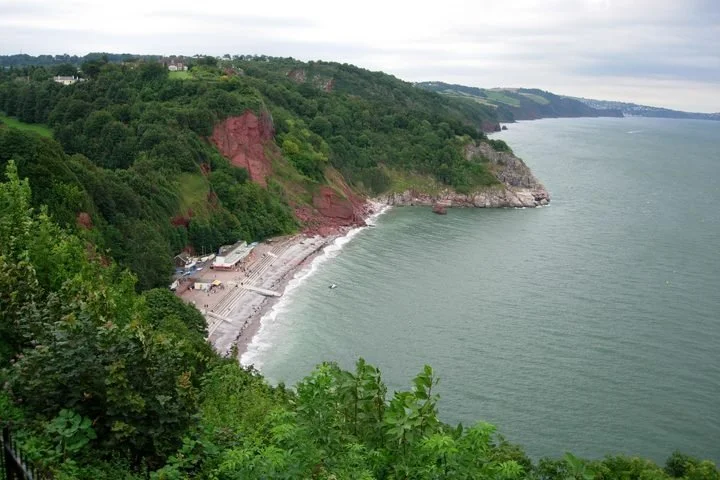
Babbacombe Cliffs
Grid ref SX929655
Faulting has dropped red Permian breccias down against the pale Devonian limestones — and in one section the cliff is completely upside down: the dark slates at the bottom are younger than the limestones at the top! Includes the type section of the fossil-rich Babbacombe Shales. -
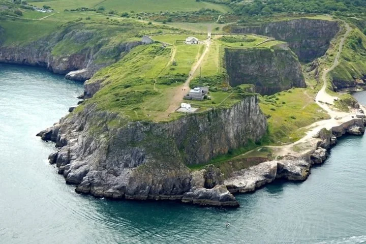
Berry Head to Sharkham Point
Grid ref SX943565
A massively quarried limestone headland and National Nature Reserve standing 60 m above the bay. Spectacular Variscan folds, a remarkable sequence of caves, and raised beaches recording high Quaternary sea levels. -
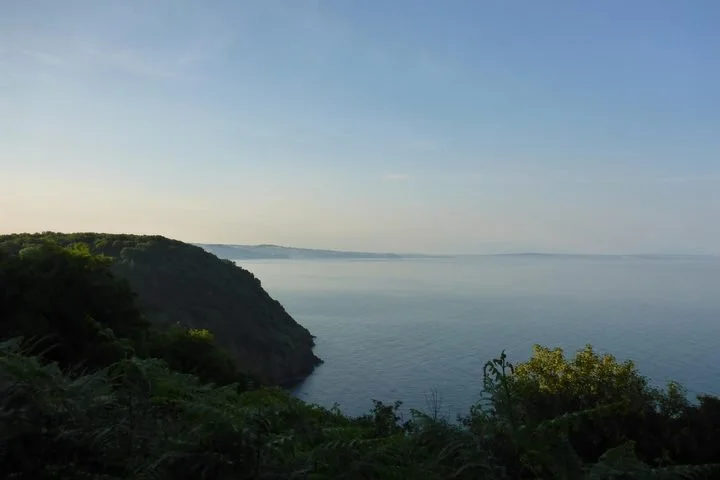
Black Head & Anstey's Cove
Grid ref SX940645
The only significant outcrop of intrusive igneous rock in Torbay — microgabbros (‘dolerite’) intruded into the Upper Devonian Saltern Cove Formation, readily accessible by the coast path. -
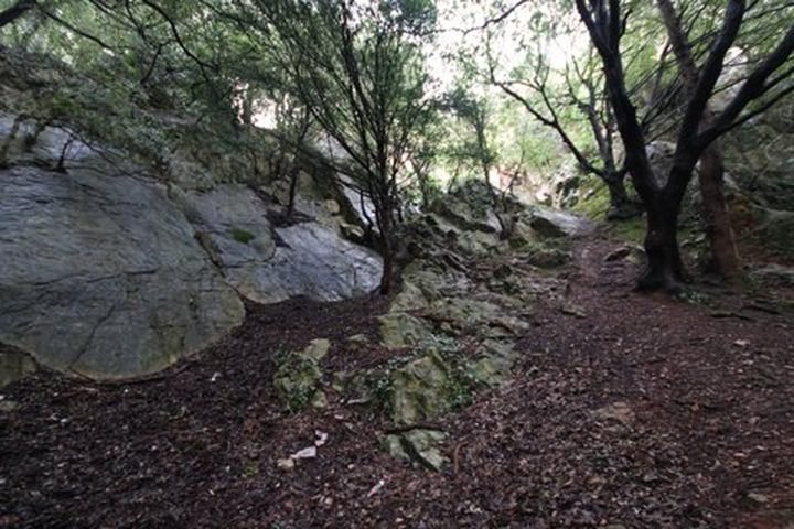
Chapel Hill, Torre
Grid ref SX90206531
Easily viewed and accessed from the road, this site demonstrates the ancient landscape relationship between the Permian breccia and the underlying Devonian limestone it buried. -
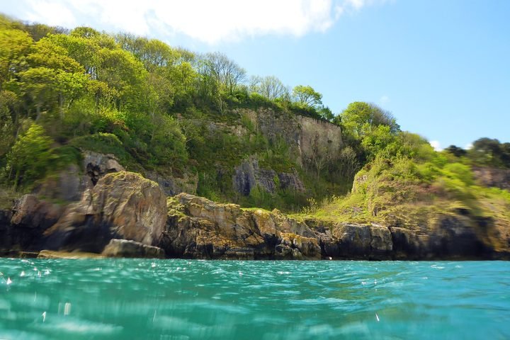
Churston Cove / Churston Point
Grid ref SX920569
Cliff and foreshore exposures between Churston Cove and Broad Sands show a thrust-bounded section through the Churston Member — the type locality of this division of the Brixham Limestone Formation. -
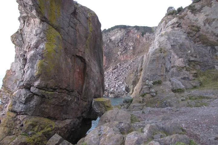
Daddyhole
Grid ref SX928628
The type section of the Devonian Daddyhole Limestone, with a rich fossil fauna well exposed. Desiccation cracks, which formed as the sediments dried out, are an uncommon feature on display. -
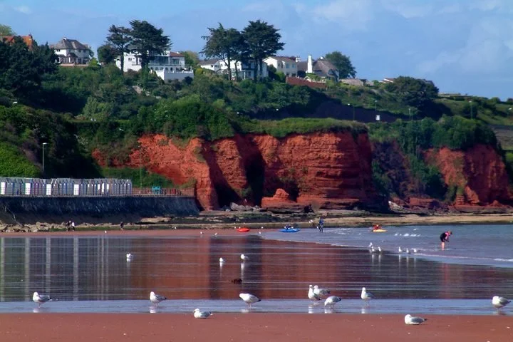
Hollicombe Head to Corbyns Head
Grid ref SX903626
Bright red Permian cliffs easily viewed from Torquay seafront and Livermead Sands. The sandstones and conglomerates record desert flash floods and wind-blown dunes of the Torbay Breccia Formation. -
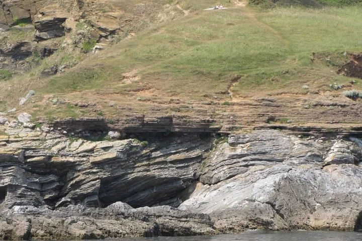
Hopes Nose: Marine Devonian
Grid ref SX948635
A locality with unrivalled exposures of the Torquay Limestone, containing excellent sections of the Devonian Daddyhole Limestone and its typical features. -
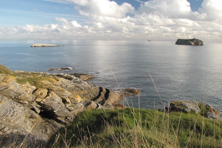
Hopes Nose: Mineralogy
Grid ref SX949636
A nationally important mineral site — hydrothermal veins cutting the Devonian limestone contain native gold and rare palladium minerals, exposed on the eastern rock platform. -
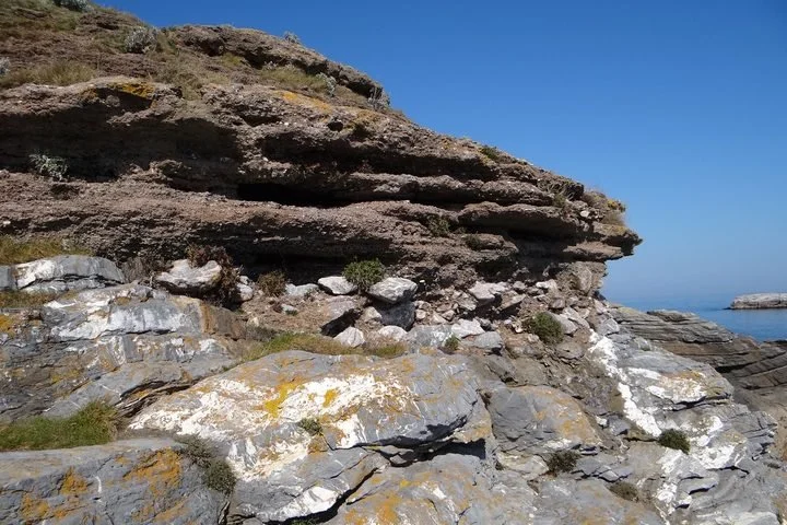
Hopes Nose & Thatcher Rock: Quaternary
Grid ref SX948633
Key sites for the study of Quaternary stratigraphy and sea-level change, including a raised shore platform and ancient beach deposits left by higher Ice Age sea levels. -
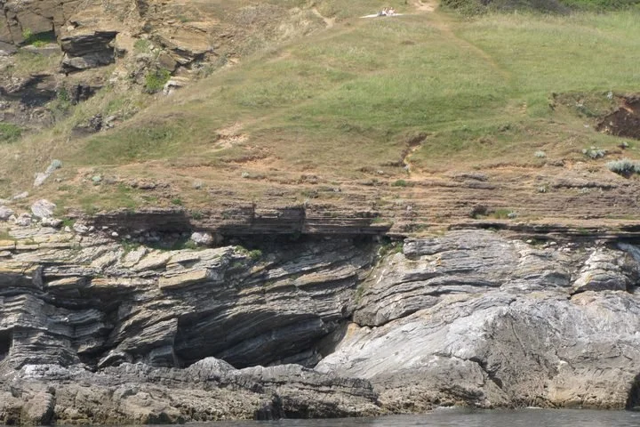
Hopes Nose South
Grid ref SX947633
An excellent example of the Variscan structures of the South West — a large overturned fold verging north-west, exposed in the cliff face close to the raised beach.
-
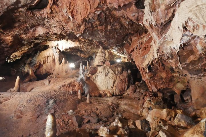
Kents Cavern
Grid ref SX935641
One of Britain’s best-known show caves and a famous Quaternary site, important for palaeontology, dating and stratigraphy — with evidence of some of the earliest humans in Britain.
-
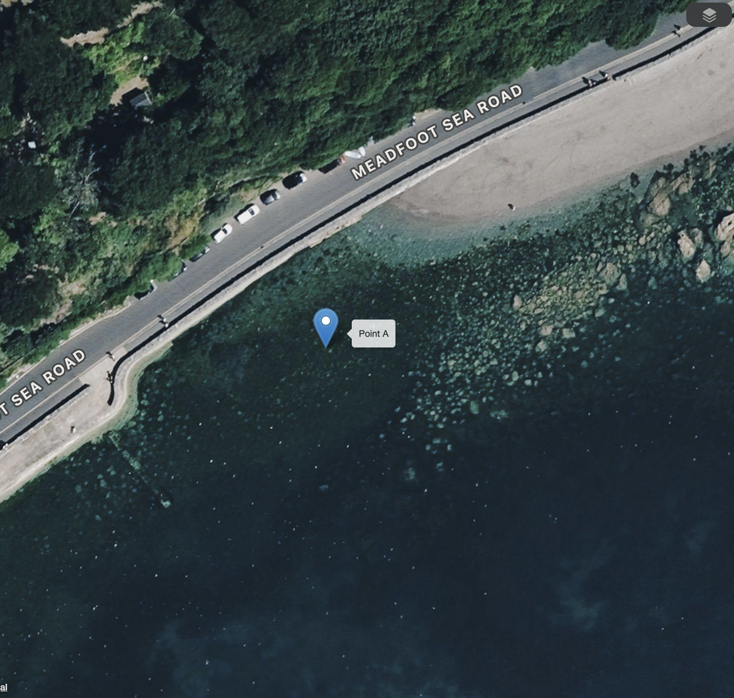
Meadfoot Sea Road
Grid ref SX931631
The type section of the Devonian Meadfoot Beds, displaying their classic lithological and palaeontological characteristics beside the sea road.
-
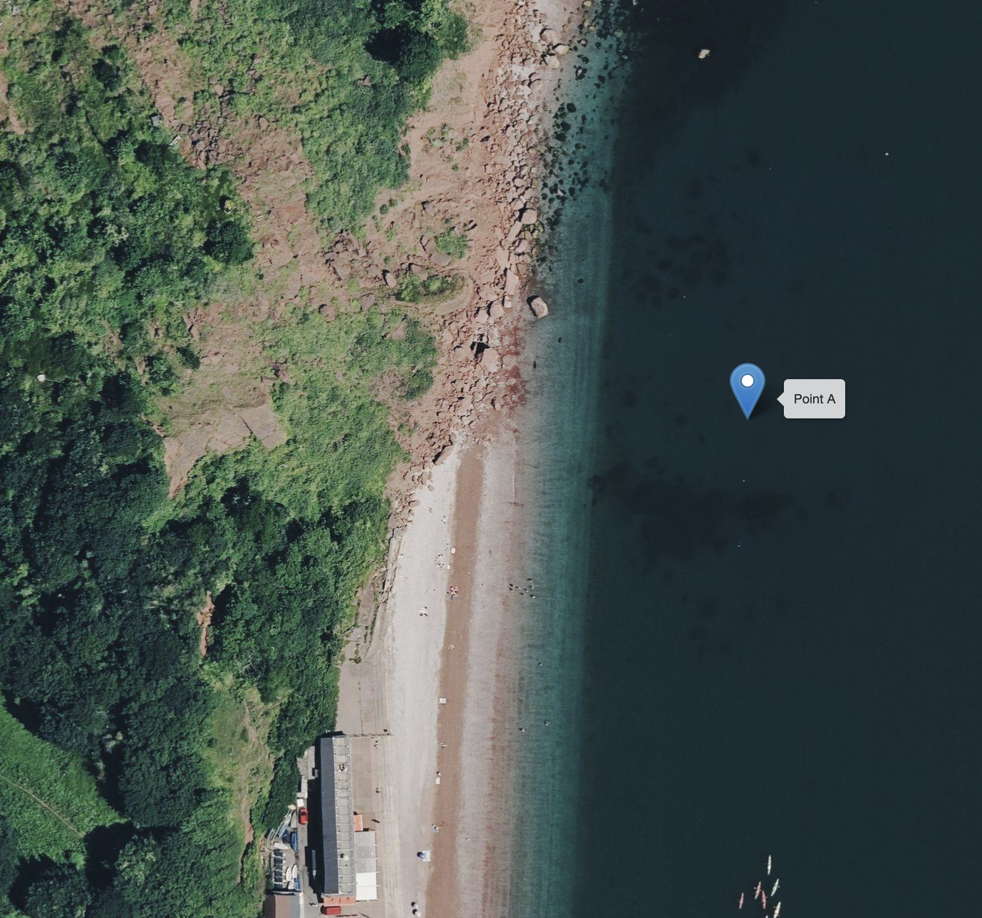
Oddicombe
Grid ref SX927660
Here the red Oddicombe Breccias of Permian age are faulted against the pale Devonian limestones of Petit Tor — dramatic at the north end of Oddicombe Beach.
-
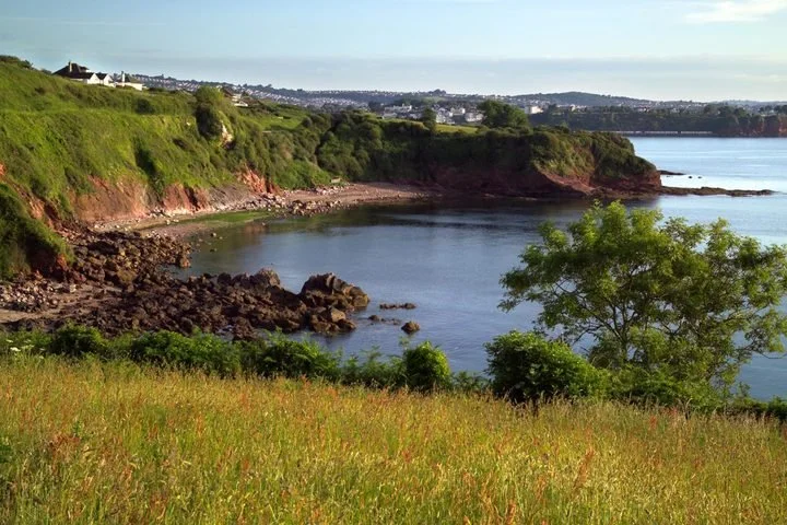
Saltern Cove: Marine Devonian
Grid ref SX895580
One of the most important Upper Devonian localities — Saltern Cove and Waterside Cove are easily accessible and display extensive sections of both Upper and Lower Devonian rocks.
-
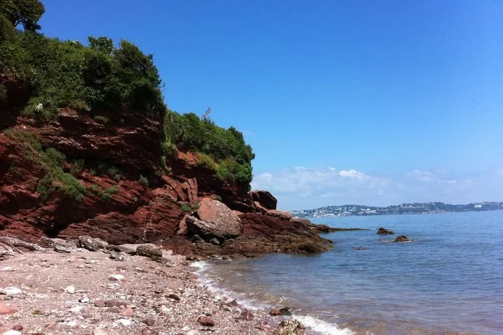
Saltern Cove: Permian–Triassic
Grid ref SX894591
Coarse Permian flood breccias rest directly on Devonian slates at a regionally significant unconformity. Fossil burrows found near Waterside are evidence of early desert life. -
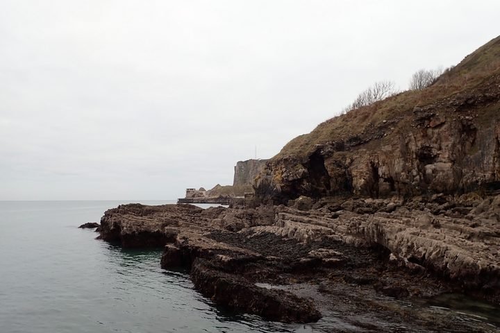
Shoalstone
Grid ref SX93655680
The wave-cut platform exposes red sandstone-filled fissures (Permian ‘dykes’) cutting the Devonian limestone — some lined with large sparry calcite crystals.
Best viewed from
the coast path or sea
These exposures have no safe, direct access, but can be appreciated from the South West Coast Path or from the water on a Geopark cruise.
-
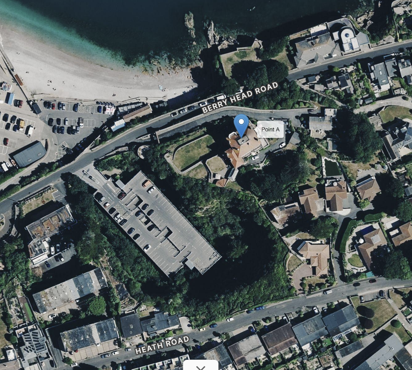
Breakwater Quarry, Brixham
Grid ref SX93285660
Middle Devonian limestones from this quarry built Brixham Breakwater. The faces give an excellent demonstration of pre-Permian solution fissures (palaeokarst) in the Devonian limestone. -
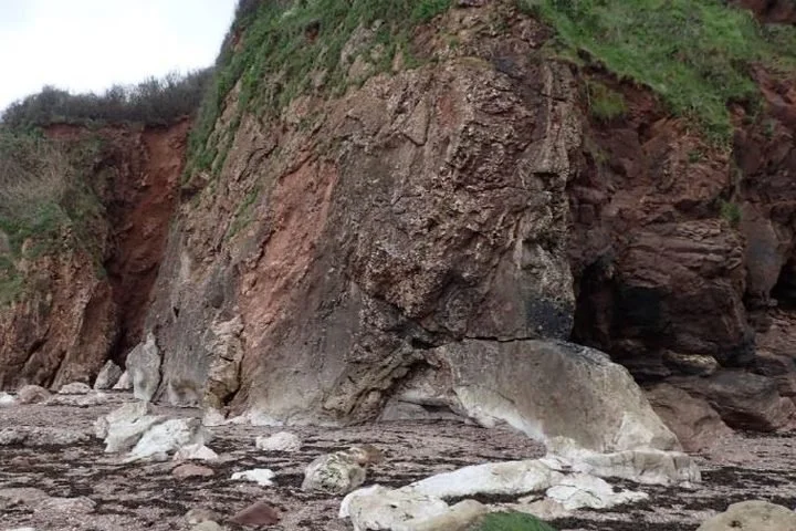
Crystal Cove
Grid ref SX896580
A post-Variscan north–south fault with a remarkable 25 m wide zone of crystalline calcite (‘Iceland spar’), marking a major ancient fluid pathway — possibly unique in the region.
-
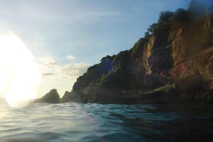
Dyers Quarry
Grid ref SX921628
The best example in South Devon of fossilised corals preserved in their position of growth, in the best available section through the upper Daddyhole Limestone.
-
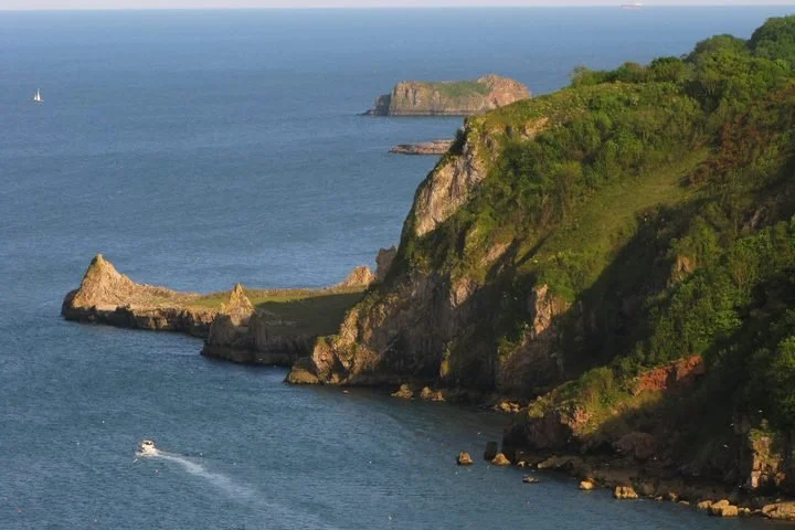
Long Quarry
Grid ref SX937651
The type section of the Devonian Walls Hill Limestone — unique in displaying the development, growth and form of a stromatoporoid (sponge) reef.
-
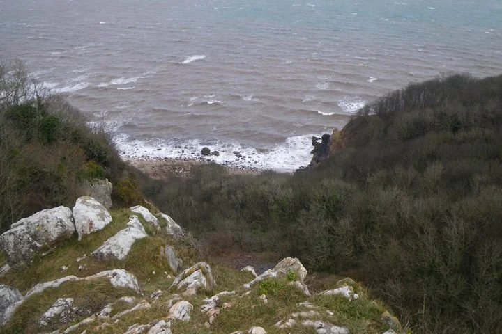
Petitor, Maidencombe
Grid ref SX927663
Disused quarry and coastal exposures spanning the Middle and Upper Devonian, with Permian deposits resting unconformably on top. The famous ‘Petitor marble’ was quarried here for decorative use.
-
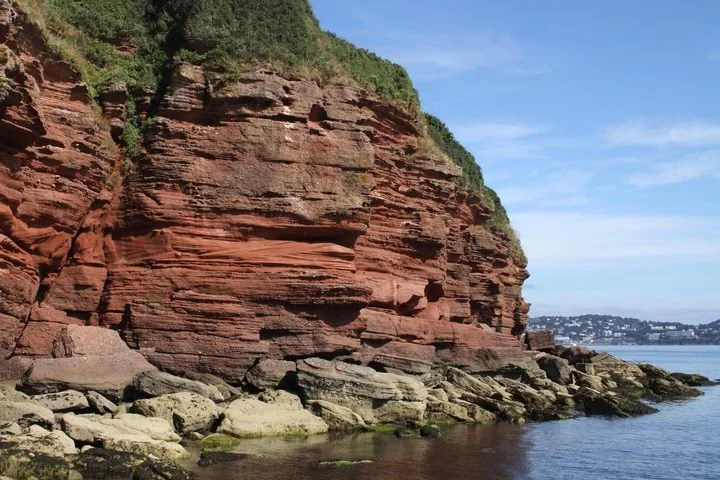
Roundham Head
Grid ref SX89556005
The type section of the Permian Tor Bay Breccias and a key site for Permian desert environments — recording ancient wind directions and flash-flood deposits.
-
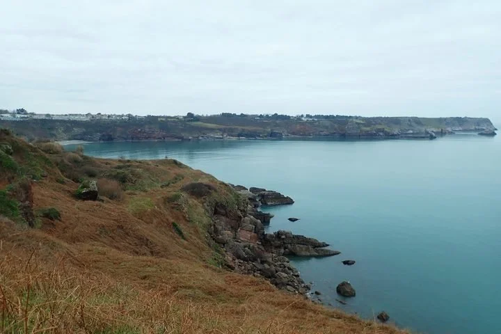
Sharkham Iron Mine
Grid ref SX933548
The former mine workings reveal hematite iron mineralisation that is virtually unique in the region, hosted in the Devonian limestones near Sharkham Point.
Access by permission only or no public access
These sites are not promoted for tourism — they are on private land, are working or unstable quarries, or are so scientifically sensitive that access is only possible with prior permission. They remain central to the Geopark’s international importance, which is why they are detailed here in full.
-
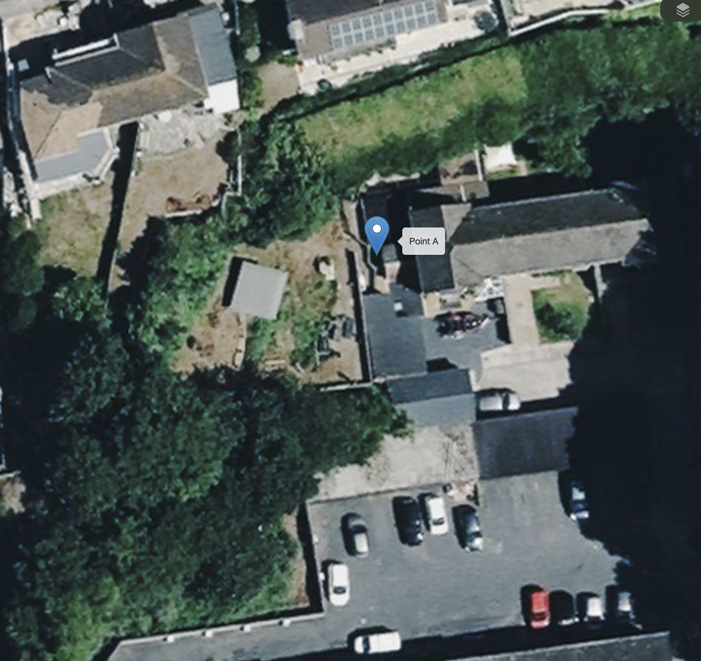
Barcombe Mews Quarry, Shorton
Grid ref SX887620
An excellent, clean and safely accessible exposure of the Permian breccias of the Torbay area — large angular to sub-rounded fragments of sandstone, limestone, quartz and slate set in a well-cemented sandy matrix.
-
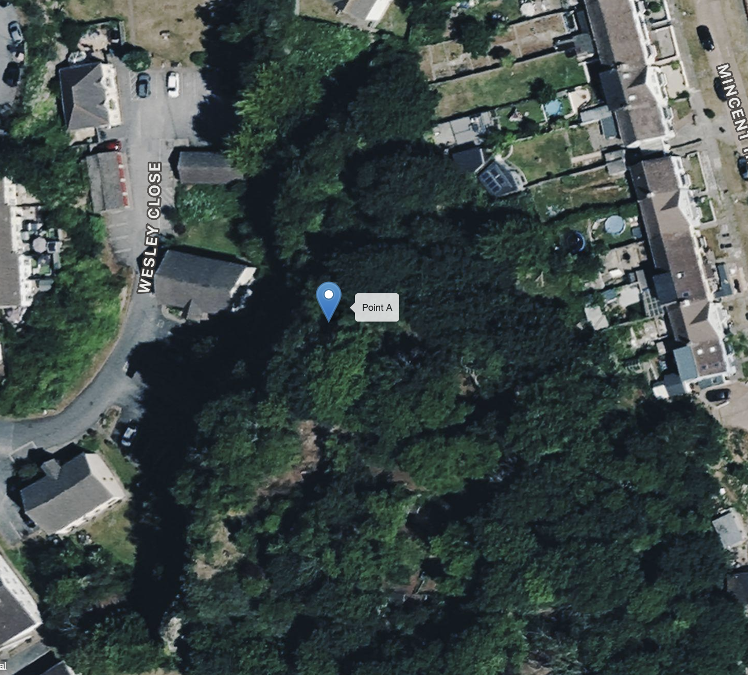
Barton Quarry
Grid ref SX913671
Of key historical importance as a source of rich late Middle Devonian fossil faunas. The old quarry, now partly built over, still shows important exposures of the bioclastic Barton Member. Limited access.
-
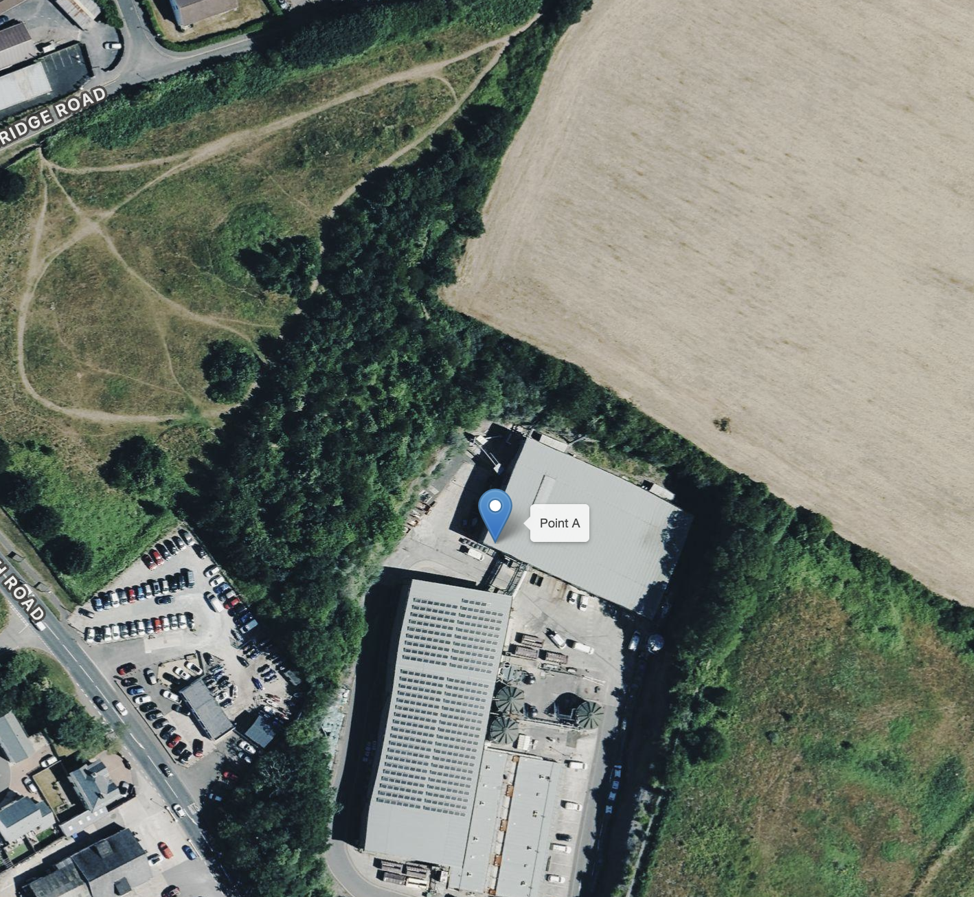
Brokenbury Quarry, Churston Ferrers
Grid ref SX897563
The main interest lies in the later Variscan folds, which deform the early foliation in the Middle Devonian limestone and are particularly well displayed here.
-
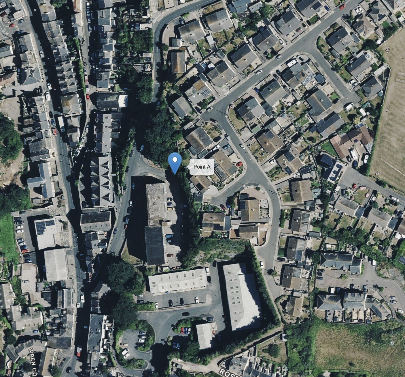
Brixham Cavern
Grid ref SX925557
Also known as Windmill Hill Cave, discovered in 1858. Excavations revealed Ice Age animal bones alongside flint tools — historic early evidence for the antiquity of humans in Britain.
-
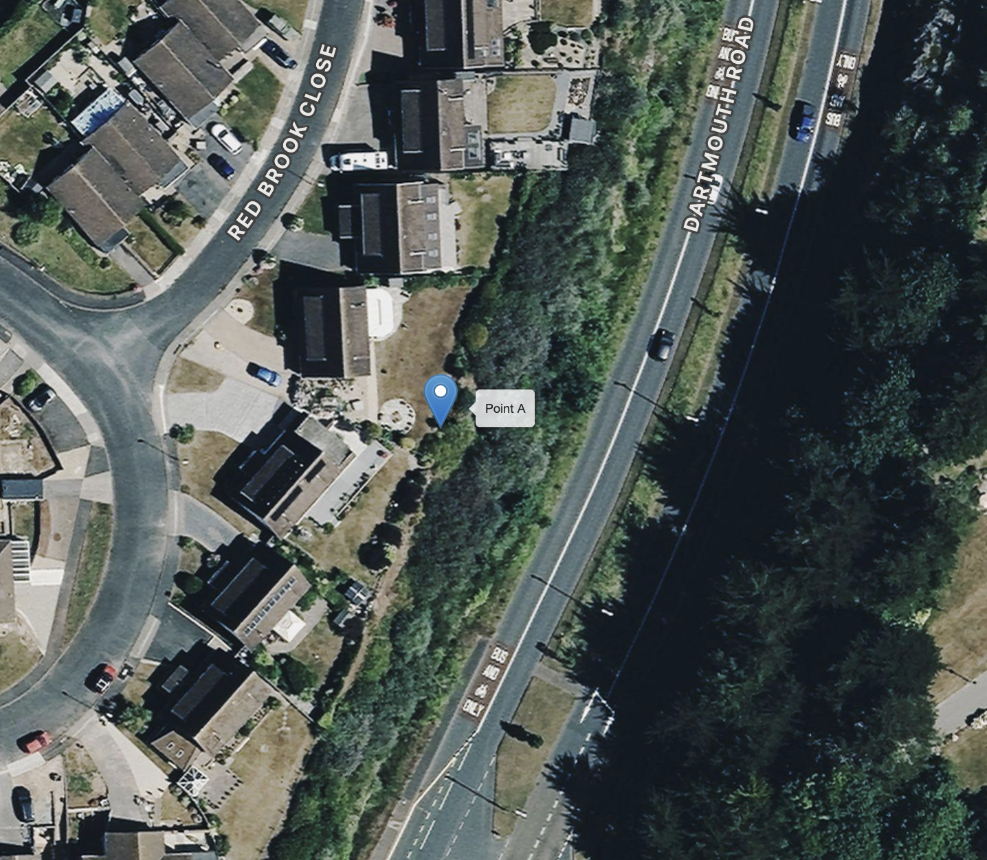
Goodrington Quarry & Road Cutting
Grid ref SX89155805
Quarry and road-cutting exposures of Middle Devonian (Givetian) limestone, partly dolomitised, showing a valuable range of geological features in a readily accessible site.
-
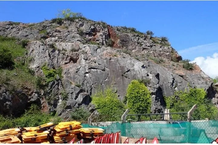
Lummaton Quarry
Grid ref SX911665
Home of the Lummaton Shell Bed, whose fauna helped lead to the naming of the Devonian Period — arguably the most important single fossil locality in Torbay.
-
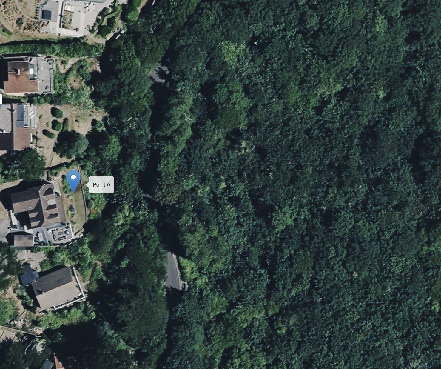
New Cut
Grid ref SX935638
The best exposure of the Staddon facies of the Devonian, indicating a near-shore, inner-shelf environment — a unique locality on Lincombe Drive.
-
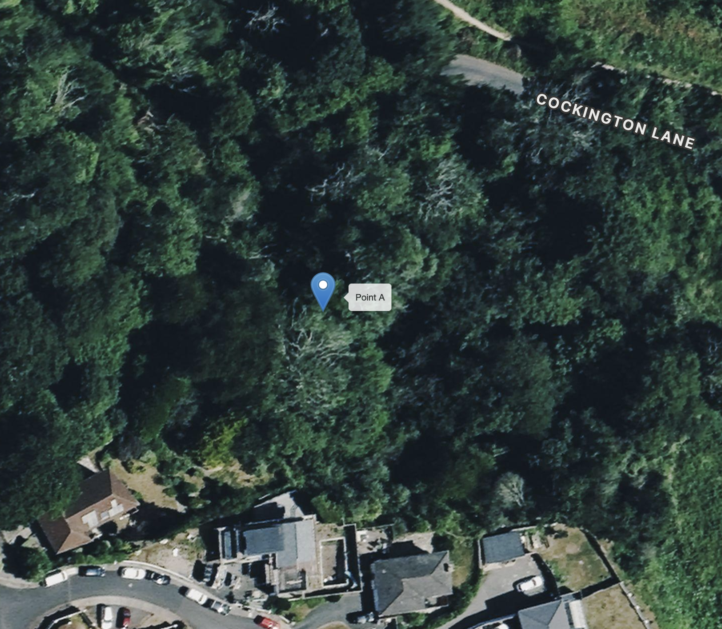
Quarry Woods Quarry, Cockington
Grid ref SX89956315
A good exposure of the thickly bedded red-brown sandstones of the Lower Devonian Staddon Grit, with thin slaty beds between, in the woods above Cockington valley.
A Journey Through One of Earth’s Extraordinary places
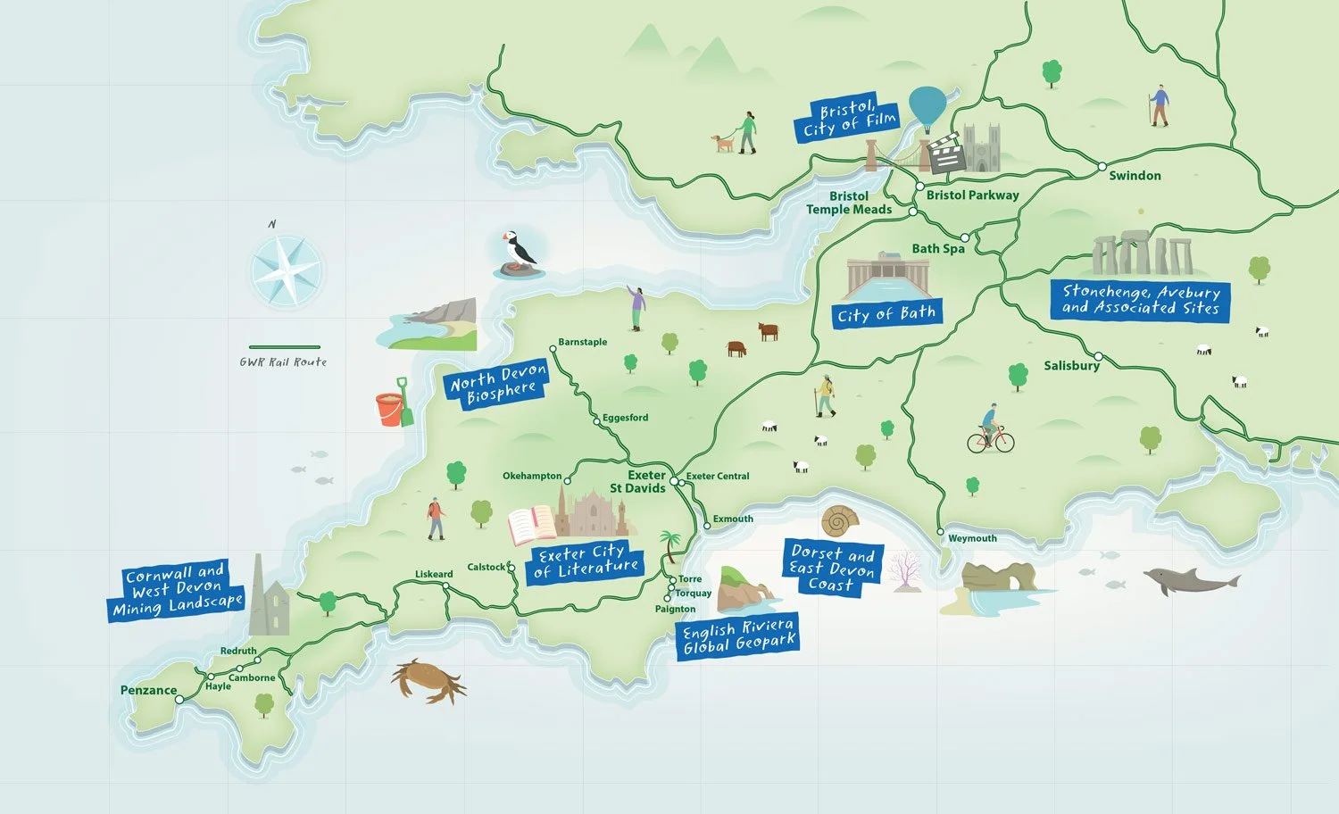
Eight UNESCO designated sites across the South West of England have joined together with GWR in this exciting initiative to encourage visitors to explore their areas using sustainable travel. Each site has carefully curated bespoke two-day trails leading from their train stations and using public transport to access beautiful, culturally-rich activities and destinations.
This has been made possible through UNESCO’s Local to Global programme which is funded by The National Lottery Heritage Fund to connect over 60 designated sites—including Biospheres, Geoparks, Creative Cities, and World Heritage Sites—to foster sustainability, resilience, and community-led action. The initiative connects local action to UN Sustainable Development Goals (SDGs) and the 2030 Agenda, fostering peace and sustainable development.
Discover the South West
The South West is packed full of UNESCO sites to discover. We’ve teamed up with Great Western Railway to bring you a South West trail like no other.